
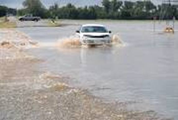
There is a strong wind advisory in effect today! All NOAA Radios are down currently and the National Weather Service has starting around 5 pm until Tuesday at 6 pm Hazardous Strong Winds will be west around 20 to 30 mph with wind gust up to 50 mph. The impacts from these winds could be devastating if not careful! isolated power outages and difficulty driving your vehicles due to tree limbs downed are under your preparedness actions for the next 24 hours.
A WIND ADVISORY IS ISSUED WHEN SUSTAINED WINDS OF 31 TO 39 MPH... OR GUSTS OF 46 TO 57 MPH...ARE EXPECTED OR OCCURRING. WINDS THIS STRONG CAN MAKE DRIVING DIFFICULT...ESPECIALLY FOR HIGH PROFILE VEHICLES. USE EXTRA CAUTION.
THIS HAZARDOUS WEATHER OUTLOOK IS FOR SOUTHERN CONNECTICUT...NORTHEAST NEW JERSEY AND SOUTHEAST NEW YORK.
Here is a look at your weather for the next Three Days
Today
Rain before noon, then rain likely with areas of drizzle between noon and 3pm, then a chance of showers after 3pm. Areas of fog before 3pm. High near 56. East wind 6 to 14 mph becoming west in the afternoon. Chance of precipitation is 100%. New precipitation amounts between a tenth and quarter of an inch possible.
Tonight
Partly cloudy, with a low around 41. Breezy, with a west wind around 25 mph, with gusts as high as 44 mph.
Tuesday
Sunny, with a high near 54. Windy, with a northwest wind 22 to 28 mph, with gusts as high as 47 mph.
Tuesday Night
Clear, with a low around 37. Breezy, with a northwest wind 15 to 20 mph decreasing to 6 to 11 mph after midnight. Winds could gust as high as 33 mph.
Wednesday
Sunny, with a high near 55. Light and variable wind becoming south 5 to 10 mph in the afternoon.
Wednesday Night
Mostly clear, with a low around 44.


 RSS Feed
