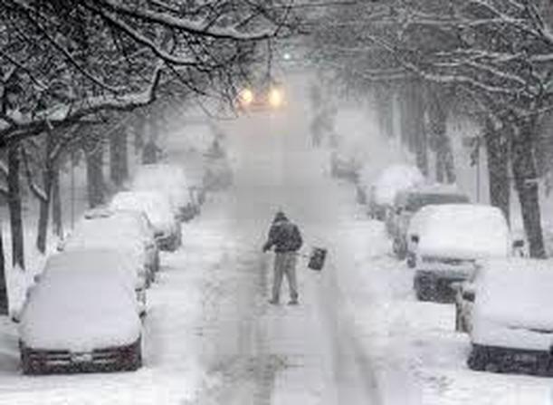
Extremely dangerous travel conditions are BROADCASTED due to HEAVY SNOWFALL! PLEASE USE EXTREME CAUTION! It has been strongly advised that no travel plans or traveling should occur, do to the possibility of strong winds which leads to tertiary roads and power line interference. Winds are expected to gust up to 20 to 30 MPH with gusts up to 50 MPH, possibly 60 MPH near the immediate coast.
Today, temperatures will be in the UPPER 20s. Visibilities are going to be one quarter mile or less.
Precautionary / Preparedness Actions Alert!
A Blizzard Watch! What does that mean? It means that potential falling or blowing of snow with strong winds and extremely poor visibility. This will lead to WHITEOUT conditions!!!!!
A Coastal Flood Warning is laso expected! Coastal residents in the warned area should be on alert for rising water.....and take appropriate action to protect life and property.
#wintersafety
 RSS Feed
